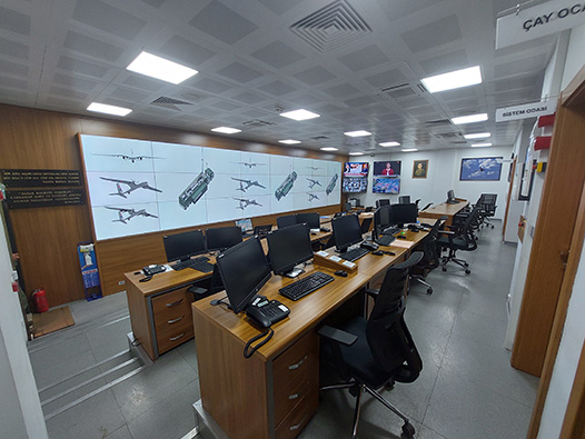
Central Command Control
Central UAV Management Surveillance System
BAYKARA web-based mapping tool designed to display basic information about UAVs.
Thanks to this system, air traffic controller, task planning, antenna planning and frequency planning can be made easily.
MYGS allows users to observe all flights in an overview. Position, stop, remaining fuel, payload information, emergency alarms and connection information (Ground Control Station - GCS, Ground Data Terminal - GDT) of UAVs can be monitored through this system.


Image Transfer Center
BAYKARIt enables uninterrupted access to live images from UAVs and SCIs for multiple users at the same time. All images monitored by GAM are stored along with the date of operation, geographic location and notes attached by the personnel.
The images from UAV and SİHA are transferred to the mobile device of military personnel working in the region. With this system, which is transmitted through secure channels and works in integration with GAM, threats are identified, and preventive and offensive decisions are taken more quickly and safely.

